The benefits of using our software applications for Commercial Site Development Projects are many and proven.
Use our apps to accelerate civil design workflows, streamline construction documentation, respond to changes quickly. The bottom line for most users is adding our apps to their existing CAD platform saves their business significant time and money.
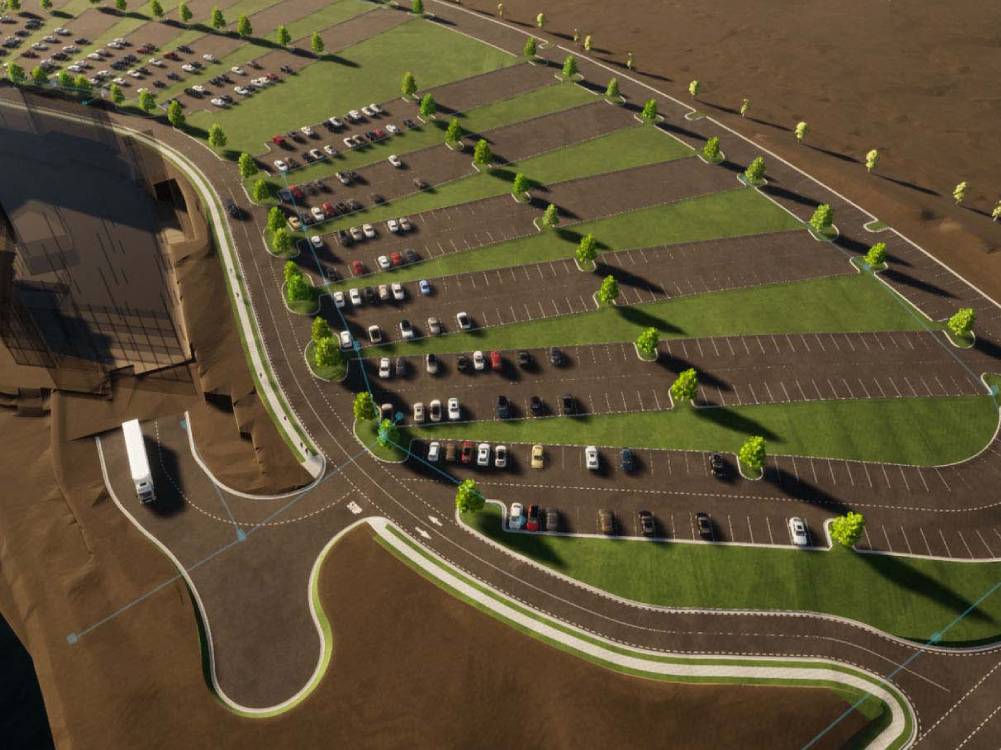
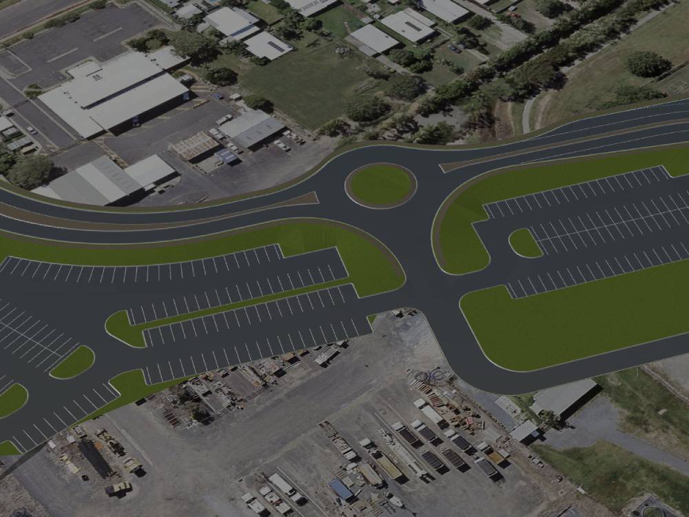
Examples of Commercial Site Design projects our apps are perfect for include:
- Medical Facilities
- Office Building
- Hotels and Other Lodging
- Industrial Building
- Sports Facilities
- Large-Scale Institutions
Our software applications seamlessly integrate with:
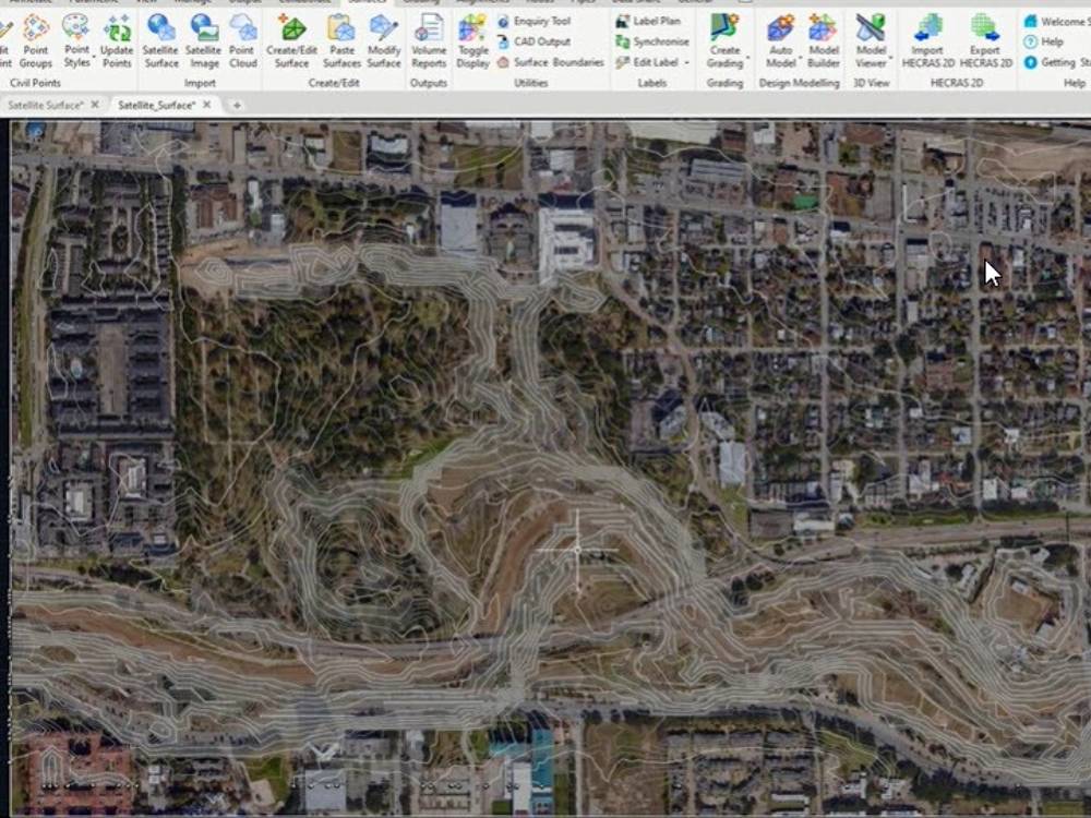
Civil Survey Application software can offer several benefits for civil projects, such as:
Increased efficiency: Civil survey software can automate many time-consuming tasks, such as creating and updating maps, calculating volumes, and generating reports. This automation can save time and reduce errors, allowing engineers and surveyors to focus on more critical tasks.
Improved accuracy: Civil survey software can use advanced algorithms to produce more accurate measurements and models. This increased accuracy can help ensure that projects are completed correctly the first time, reducing the need for costly rework.
Better collaboration: Civil survey software can facilitate better collaboration between different stakeholders, such as engineers, surveyors, and contractors. This collaboration can help ensure that everyone is working from the same data and can help identify and address issues early in the project.
Enhanced visualization: Civil survey software can provide 3D visualization tools that allow engineers and surveyors to better understand complex designs and communicate them more effectively to stakeholders.
Compliance with regulations: Civil survey software can help ensure compliance with local regulations and standards by providing tools for mapping and monitoring construction sites, monitoring environmental impacts, and generating reports required by regulatory agencies.
In summary, civil survey application software can help streamline civil design workflows, improve accuracy, facilitate collaboration, enhance visualization, and ensure compliance with regulations. However, it’s essential to evaluate the specific needs of your project and choose the right software to fit those needs.
Applications Used For Commercial Site Design
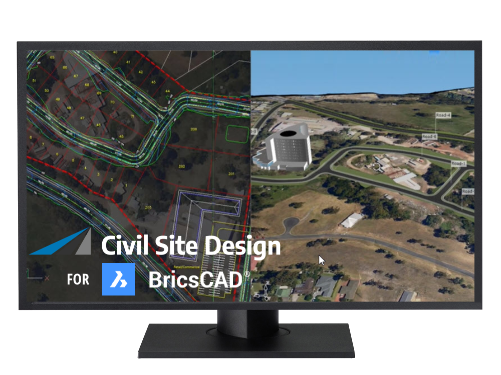
BricsCAD users report that Civil Site Design fills workflow holes and makes end-to-end design possible.
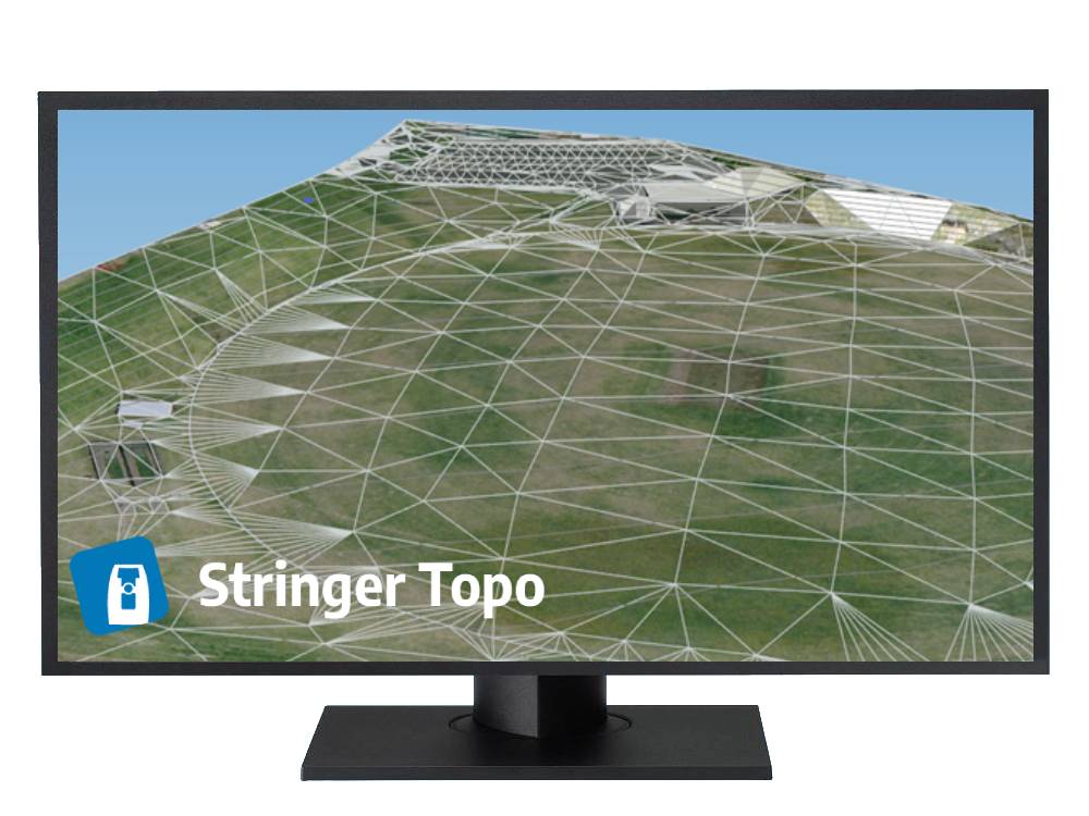
Stringer Topo transforms your current CAD platform into a low-cost, full-featured survey package.