What’s New!

Fuel your growth: Stay current with product innovation and knowledge
that streamlines your tasks and boosts your company’s edge.

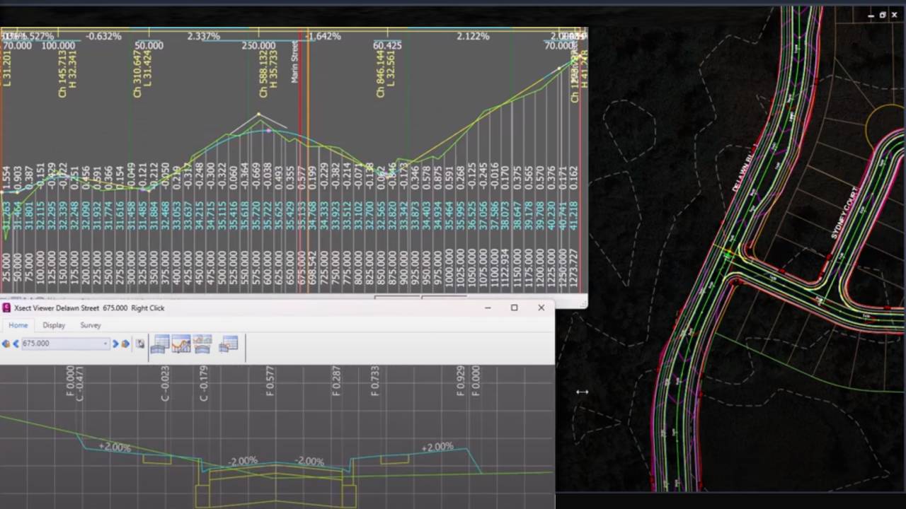
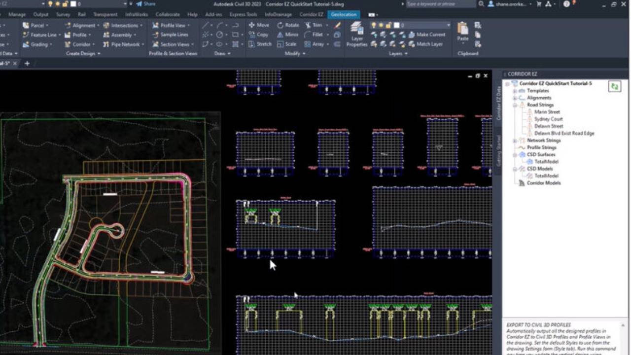
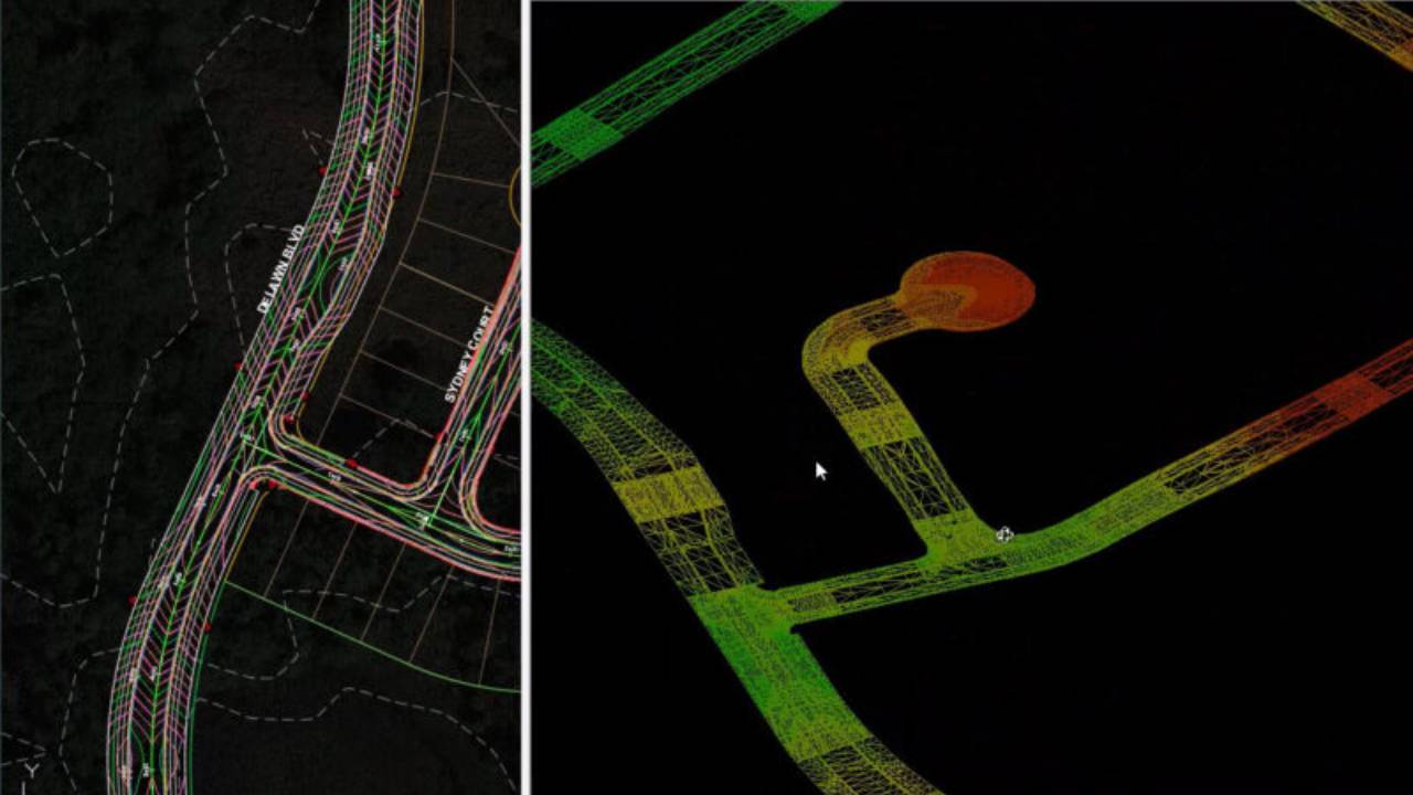
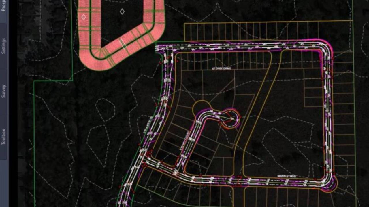
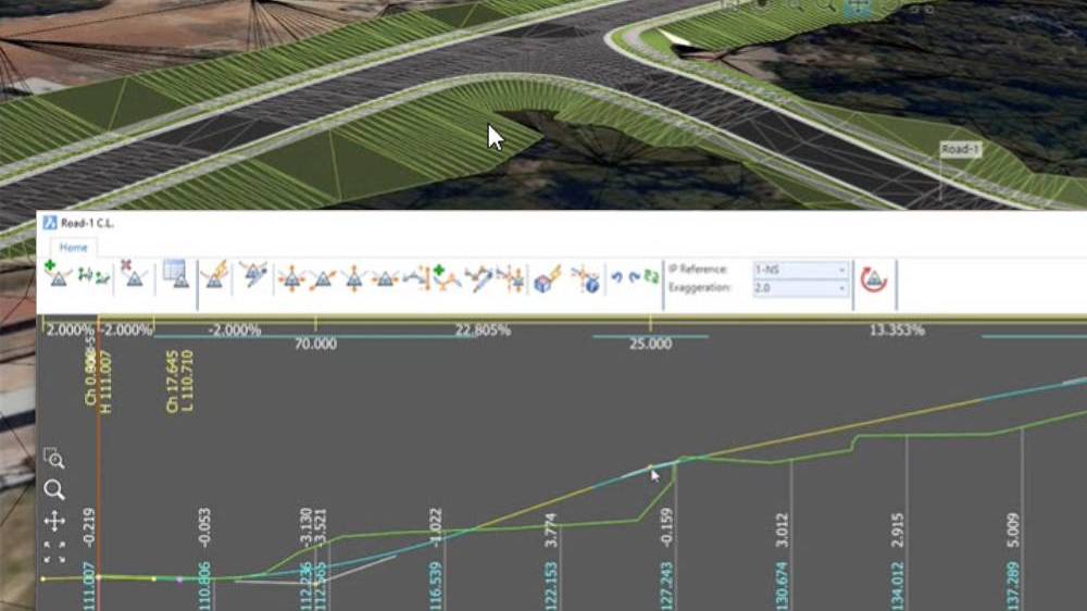
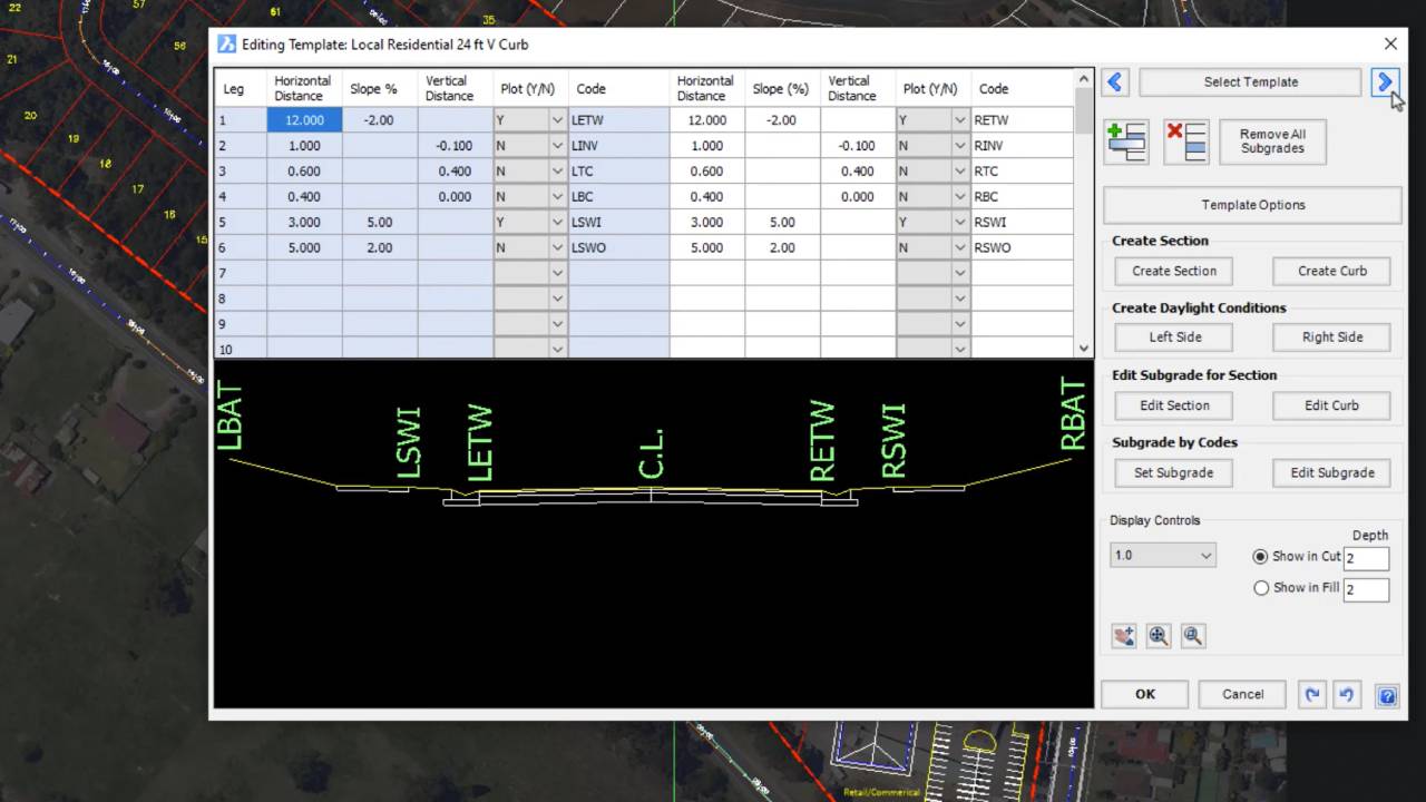
Templates Simplify Assemblies
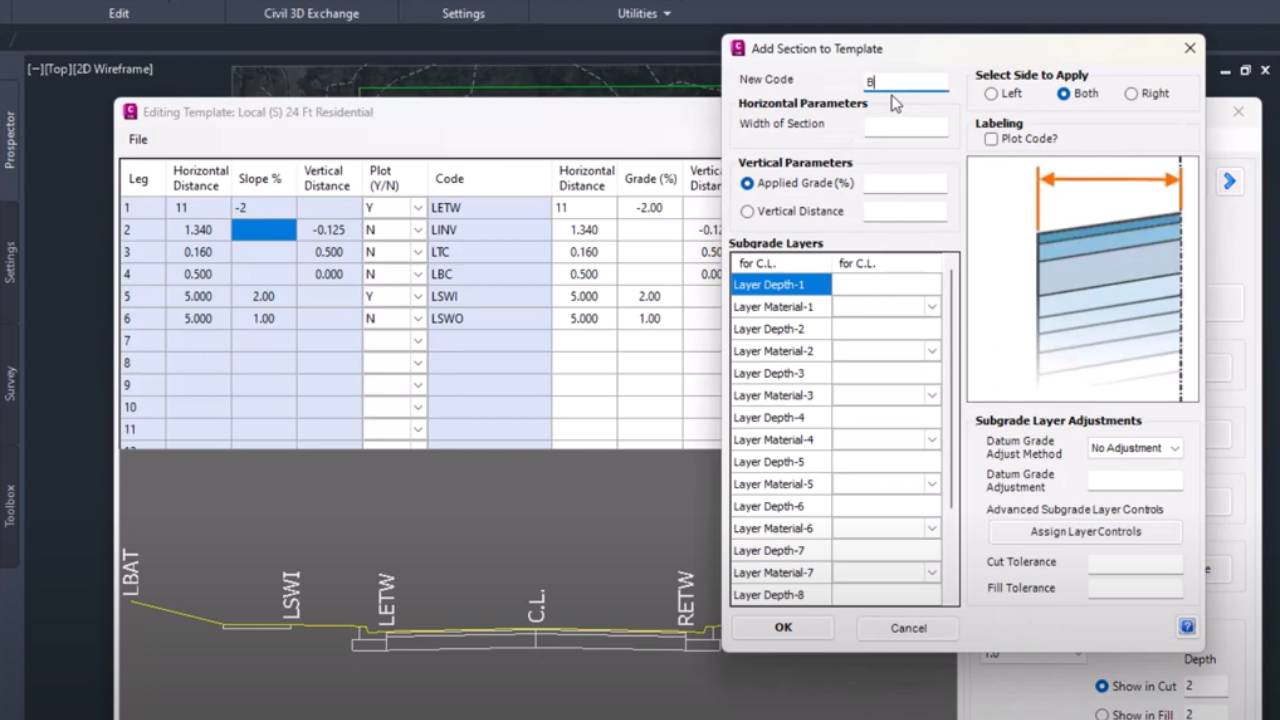
2023-08-24T08:34:55-04:00

Corridor EZ provides a spreadsheet-like template manager to define your road, curb, sidewalks, pond elements and related grading polylines. Templates replace the need to build complex assemblies and can be easily customized to meet specific project needs. When your design is complete and you are ready to create a corridor – Corridor EZ will create the required assemblies for you.

Intelligent Road Network Design

2023-08-24T08:59:31-04:00

Corridor EZ delivers intelligent, AI driven creation of your entire road network via ‘Project Assist’. Once your surface and alignments are created, you can assign your templates and ‘Project Assist’ generates the design for an entire subdivision in a single operation including all curb returns, widenings and cul-de-sacs. All these elements are tied together so changing the vertical design of one road updates all of the connected profiles

Leverage The Civil 3D Profile

2023-08-24T08:38:36-04:00

Push your designs out to Civil 3D Profiles, complete with Profile Views, with a single mouse click. Edit your Civil 3D profiles and read back to the design to update all your curb returns and cul-de-sacs. As well, you can open multiple interactive design windows to edit your profile designs and view your cross sections, complete with plan tracking and dynamic updating as you change your design. There is no need to contend with split views and the hunt for profile views.

Surface Output

2023-08-24T08:39:30-04:00

Once your design is complete, you can export your design to Civil 3D Surfaces at the click of a button, including all breaklines and boundaries. If you make a change in your design, re-run the export to update all the surface definitions, maintaining all your surface labels surface analysis and applied surface style.

Real Time Interactive Visualization

2023-08-24T08:17:11-04:00

The Corridor EZ ‘Model Viewer’ assists your design process with real time rendering and visualization. It has a number of powerful analysis tools including line of sight analysis and reporting, automated line marking which can be exported to your CAD drawing.

Multi Baseline Corridor

2023-08-24T08:49:21-04:00

At the click of a mouse, create a multi base line Corridor – including all assemblies, targets, regions and overrides. Need to make a change – another road or knuckle? No problems – simply sync your Corridor.

Surfaces From Satellite Data, Point Files

2023-08-17T15:12:51-04:00

Civil Site Design offers all of the standard tools for creating surfaces from 3D faces, 3D points, contours and point files. You can easily configure the outputs to your standards with the COGO Points features. Civil Site Design also supports reading Civil 3D surfaces and alignments directly from your Civil 3D drawings. The satellite to surface feature will geo-reference your drawing and will use Google elevation data as well as imagery from multiple sources to generate a surface and overlay the image in just minutes.

Templates Eliminate Assemblies

2023-08-17T15:14:29-04:00

Templates provide an intuitive way to define your road, curb, sidewalks, pond elements and related grading polylines. Civil Site Design provides a number of state specific templates that can be easily configured to conform to your standards.

Title

Go to Top